Eyesea maritime pollution mapping initiative has gained the support of Fraser who have become the first yachting company to do so.
This new initiative encourages superyachts to map marine pollution using the combination of the unique technology available on board and the significant reach offered by the maritime sector.
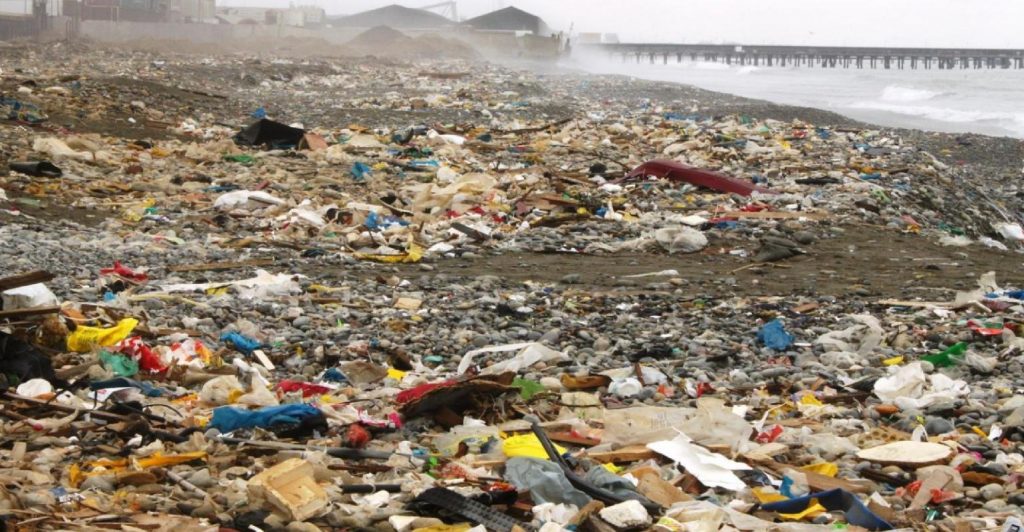
Non-profit organisation Eyesea has developed a reporting App that allows seafarers, guests, sailors and crew to collect information on surface pollution by simply taking photos. These images will then be incorporated into maps and charts, providing both local and global data on marine pollution.
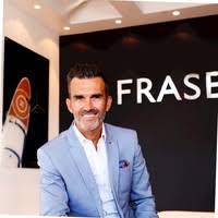
Raphael Sauleau, CEO of Fraser said: “As an industry that relies on the experience of clean oceans, we are all deeply concerned about the way things are headed. Eyesea is a unique concept as it allows all vessels to take part in a collaborative effort to monitor the health of the oceans. A handful of superyacht expedition and research vessels can only do so much. This is a job that requires all hands. We are going to have some fun, and we are going to recognise the yachts that make a difference, but more importantly, we are going to do work we can all be proud of.”
Eyesea founder Graeme Somerville-Ryan said: “We knew the yachting community would be a critical part of our efforts to collect maritime pollution data. Superyachts and smaller recreational boats reach places commercial vessels cannot. Crew and guests alike are in a unique position to observe, first-hand, the impact of human activity on areas that promote themselves as being picture-perfect. Eyesea gives the yachting community a different role – anyone on or near the water can now be the ‘eyes of the ocean’, its protectors.“
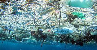
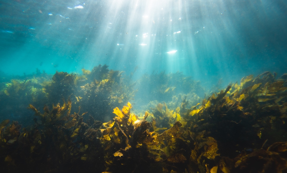
“When we looked into the problem of marine pollution, we found there was very little global data available. There were many assumptions based on small-scale data samples, but there was very little large-scale data backed up by georeferencing. Solving the pollution problem was going to be impossible if we didn’t know, accurately, what was going on and where. We hope the Eyesea data and maps will be of use to clean-up groups, researchers, local authorities, tourism operators, and a range of other stakeholders who care about the marine environment.”
The development of the Eyesea reporting technology was extensively funded by ChartWorld, a provider of digital navigation technology.
Through word-of-mouth marketing, a wide range of partners have come on board to support the launch and testing of the technology. Over 60 commercial ships and yachts have volunteered to test the beta version of the reporting tool. Eyesea is due to start at-sea testing shortly and is already undertaking coastal and terrestrial pollution data collection.