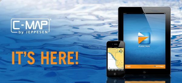
Plan2Nav, the first free vector marine cartography mobile app exclusively for C-MAP by Jeppesen charts.
Download Plan2Nav today so you can chart your course no matter where you are.
With the free Plan2Nav app, you get an embedded world background chart along with great features, so you can plan your route wherever you are.
In addition, you can: look at the charts from different angles, and pan and zoom; check out
- Weather forecasts
- Weather type
- Temperature
- Humidity, and wave and wind data
- Track your location via GPS and use a compass; measure distances
- Track recording and exporting; get map and objects information; and more.
Upgrade Plan2Nav and get C-MAP 4D MAX content.
You’ll get a more detailed chart, and you can buy additional charts tailored to your preferences.
Features include:
- NavAids
- Detailed harbor charts
- C-Marina Port Database
- Dynamic tides and currents
- Photos and diagrams
- Detailed depths and land elevations
Even better, you can download routes to your PC and get complete updates.
Full chart data starts at $19.99 for wide area coverages.
Learn more about Plan2Nav