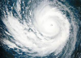
As happens every year at this time in the yachting season daily storm monitoring bulletins will soon be freely made available to super yacht Captains and yacht management companies by Watkins Superyachts.
To obtain these valuable bulletins without charge, Captains need to to register on the company’s website.
Captain Adrian McCourt the company’s MD is justifiably proud to have recognised landfalls for DEBBY and SANDY in 2012 a full 24 hours ahead of any of the established agencies – even drawing the attention of office workers in Florida with a vested interest in advance warnings of unfavourable conditions.
McCourt normally avoids long range forecasts as far as possible, He says, “I have a seafarer’s healthy mistrust of armchair meteorologists, tea leaf readers and liars who are never around when you are up to your knees in filthy green water.
Nevertheless, he has taken a stab doing so for this coming season. He said, “Taking a mean across the board of the forecasters that I do I believe, and ignoring the catastrophists and incompetents who I don’t here it is:
“The likely outlook then is for more subtropical storm development across the convergence zone and into the southern Caribbean, with more tracks likely towards the southern Gulf of Mexico and south eastern continental United States on either side of, and including, the Florida peninsula.
For those who would like predictions in hard currency then, I’ll take a lunge at the following compared with 2012:
2012 2013
………………………………………………………………………………..
Named storms 19 18-20
………………………………………………………………………………..
Hurricanes 10 10
………………………………………………………………………………..
Intense Hurricanes 1 4
(Cat 3 to 5)
With the exception of the number of intense hurricanes, my prediction is not far from the figures for 2012 but I do expect severity and location to have more significance.
From now until the end of the storm season, Watkins will be producing a daily synopsis of conditions across the tropical convergence zone – with more detailed and frequent updates of live storms.

